FEATURED ON


Most Organizations Lack Visibility Inside Their Own Spaces
That Gap Creates Risk
Many organizations operate without a clear, accurate understanding of their internal environments. Floor plans are outdated, access points are unclear, and critical details about how people move through a space are often missing. This lack of visibility impacts everything from daily operations to emergency response which forces teams to rely on assumptions instead of real data. Without a digital representation of the environment, coordination becomes harder, decisions take longer, and small issues can quickly turn into larger problems.
The Value of Accurate Mapping Is Often Overlooked
Floor plans are often outdated, underutilized, or ignored when they’re needed most.
Digital Twin & Indoor Mapping Prevents Confusion
Digital Twin & Indoor Mapping Explained
Digital Twin & Indoor Mapping Explained
Digital twin and indoor mapping is the process of creating an accurate, interactive digital representation of a physical space. It captures layouts, access points, movement pathways, and key environmental details, allowing organizations to visualize and understand their environments with precision. Unlike static floor plans, digital twins provide a dynamic, data-driven view that can be used for planning, coordination, and real-time decision-making.
By capturing real-world environments and translating them into accessible digital models, we provide teams with the visibility they need.
Digital Twin and Indoor Mapping
Digital twin and indoor mapping provides organizations with a clear, accurate, and usable understanding of their internal environments. Physical spaces are captured and converted into detailed digital models that support planning, coordination, and day-to-day operations.
The result is a reliable, up-to-date representation of the environment that teams can actively use
Visibility Isn’t One Tool.
It’s a Connected System
It's a Connected System
Clear, structured visibility improves how organizations plan, coordinate, and operate across every level of their environment.
The P.R.O. Model™ Framework
The P.R.O. Model™ Framework
The P.R.O. Model™ provides a structured framework for addressing preparedness by focusing on Prevention, Response, and Options. While most training programs focus primarily on response, this model starts earlier, where the greatest opportunity to reduce harm exists.
Environmental Awareness & Execution
Many organizations rely on outdated layouts or fragmented information when managing their spaces.
By the time accurate information is needed, it’s often unavailable or incomplete.
Accurate Mapping Creates Clarity That Drives Decision
Accurate Mapping Creates Clarity That Drives Decision
Static Information
Digital Mapping Systems
Why Organizations Trust
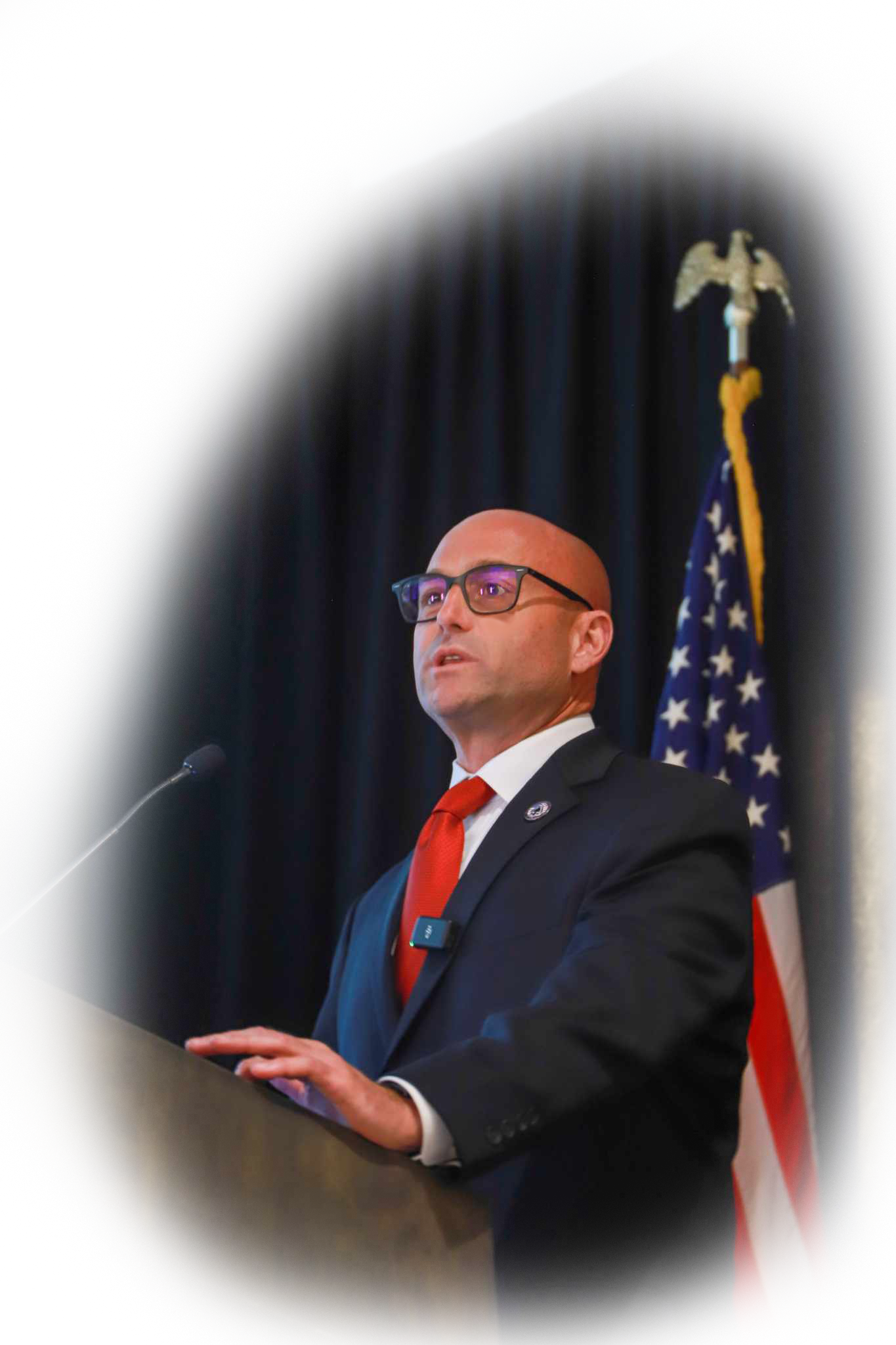
Chris Grollnek
Why Organizations Trust
Chris Grollnek
Practical Insight. Real-World Application. Measurable Value.
Organizations choose Chris Grollnek because his approach goes beyond technology and focuses on how people actually use it.
His work bridges the gap between digital tools and real-world application, ensuring that digital twin and indoor mapping systems are not just accurate, but operationally effective. He emphasizes clarity, usability, and integration, helping teams understand their environments, improve coordination, and make better decisions. Rather than delivering generic solutions, his approach is tailored to how each organization functions, ensuring the system supports daily operations, planning, and critical response when it matters most.